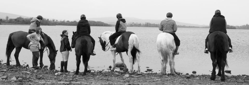
Special Offers
Sliabh Ban – Strokestown
|
Location: |
Ballinamore Co.Leitrim |
|
Telephone: |
+353 (0)87 236 1794 |
Details:
Length – 5 – 6km circuit but walk can be extended if longer walk is required
Time – 1.5 – 2 hours
Highest point – 262m/859ft
Terrain – The walk utilizes forest track ways
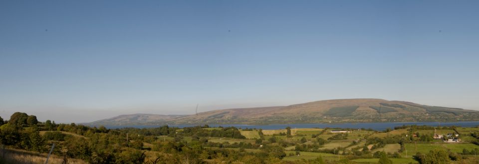
Features – Follow the medieval monastic track, view the Mass Rock, and see the effect of the famine of the land. Once you reach the summit look west and see if you can see Croagh Patrick. The River Shannon flows southwards on the east side of Sliabh Bán.
OS Sheet Numbers – 33 and 40
Map Reference – 953 757 starting point - site of old quarry and parking place
